Portal:Ruta del Spondylus: Difference between revisions
No edit summary |
No edit summary |
||
| Line 212: | Line 212: | ||
</div> | </div> | ||
|} | |} | ||
<!-- ── LIVE BEACH CAMS ── --> | |||
<div style="display:flex; align-items:center; gap:12px; margin:32px 0 14px;"> | |||
<span style="font-size:1.25em; font-weight:bold; color:#0a4a3a; white-space:nowrap;">Live Beach Cams</span> | |||
<span style="flex:1; height:1px; background:#c8e6dc; display:block;"></span> | |||
</div> | |||
<div style="font-family:Arial,sans-serif; font-size:0.85em; color:#6a6a6a; line-height:1.6; margin-bottom:14px;">Current conditions along the route — images refresh automatically. Click any image to open the live feed.</div> | |||
<!-- Row 1: Ayangue + Montañita Pueblo --> | |||
{| style="width:100%; border-collapse:separate; border-spacing:10px;" | |||
|- | |||
| style="width:50%; border:1px solid #c8e6dc; border-radius:6px; overflow:hidden; vertical-align:top; padding:0; background:#ffffff;" | | |||
<div style="height:4px; background:#1db894;"></div> | |||
<div style="padding:13px 14px 10px;"> | |||
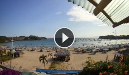
<div style="font-family:Arial,sans-serif; font-size:9px; letter-spacing:1.5px; text-transform:uppercase; font-weight:bold; color:#1db894; margin-bottom:4px;">Ayangue · Protected Bay</div> | |||
<div style="font-size:1em; font-weight:bold; color:#0a4a3a; margin-bottom:8px;">Ayangue Beach</div> | |||
<html><a href="https://www.skylinewebcams.com/en/webcam/ecuador/santa-elena/santa-elena/ayangue-beach.html" target="_blank"><img src="https://embed.skylinewebcams.com/img/748.jpg" alt="【LIVE】 Ecuador - Ayangue Beach | SkylineWebcams" style="width:100%; height:auto; display:block; border-radius:3px;"></a></html> | |||
<div style="font-family:Arial,sans-serif; font-size:0.78em; color:#8a8a8a; margin-top:8px; line-height:1.4;">The sheltered bay — check water clarity and how busy the snorkeling spot is. Click image for live feed.</div> | |||
</div> | |||
| style="width:50%; border:1px solid #c8e6dc; border-radius:6px; overflow:hidden; vertical-align:top; padding:0; background:#ffffff;" | | |||
<div style="height:4px; background:#0a7a5a;"></div> | |||
<div style="padding:13px 14px 10px;"> | |||
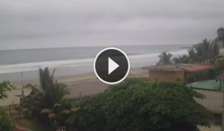
<div style="font-family:Arial,sans-serif; font-size:9px; letter-spacing:1.5px; text-transform:uppercase; font-weight:bold; color:#0a7a5a; margin-bottom:4px;">Montañita · Town</div> | |||
<div style="font-size:1em; font-weight:bold; color:#0a4a3a; margin-bottom:8px;">Montañita Pueblo</div> | |||
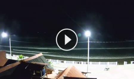
<html><a href="https://www.skylinewebcams.com/en/webcam/ecuador/santa-elena/santa-elena/montanita-santa-elena.html" target="_blank"><img src="https://embed.skylinewebcams.com/img/2205.jpg" alt="【LIVE】 Montañita - Santa Elena | SkylineWebcams" style="width:100%; height:auto; display:block; border-radius:3px;"></a></html> | |||
<div style="font-family:Arial,sans-serif; font-size:0.78em; color:#8a8a8a; margin-top:8px; line-height:1.4;">Town-side view — crowd level and general conditions. Click image for live feed.</div> | |||
</div> | |||
|} | |||
<!-- Row 2: Montañita La Punta + Ayampe --> | |||
{| style="width:100%; border-collapse:separate; border-spacing:10px;" | |||
|- | |||
| style="width:50%; border:1px solid #c8e6dc; border-radius:6px; overflow:hidden; vertical-align:top; padding:0; background:#ffffff;" | | |||
<div style="height:4px; background:#1db894;"></div> | |||
<div style="padding:13px 14px 10px;"> | |||
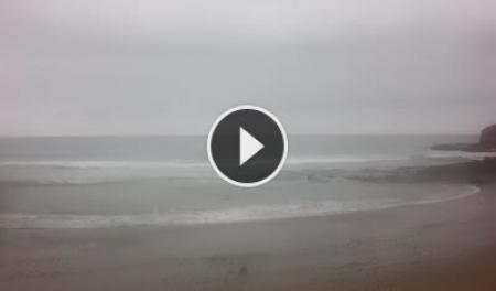
<div style="font-family:Arial,sans-serif; font-size:9px; letter-spacing:1.5px; text-transform:uppercase; font-weight:bold; color:#1db894; margin-bottom:4px;">Montañita · Surf Break</div> | |||
<div style="font-size:1em; font-weight:bold; color:#0a4a3a; margin-bottom:8px;">Montañita La Punta</div> | |||
<html><a href="https://www.skylinewebcams.com/en/webcam/ecuador/santa-elena/santa-elena/montanita.html" target="_blank"><img src="https://embed.skylinewebcams.com/img/5706.jpg" alt="【LIVE】 Beach of Montañita | SkylineWebcams" style="width:100%; height:auto; display:block; border-radius:3px;"></a></html> | |||
<div style="font-family:Arial,sans-serif; font-size:0.78em; color:#8a8a8a; margin-top:8px; line-height:1.4;">The point break — swell size, shape, and crowd in the lineup. Click image for live feed.</div> | |||
</div> | |||
| style="width:50%; border:1px solid #c8e6dc; border-radius:6px; overflow:hidden; vertical-align:top; padding:0; background:#ffffff;" | | |||
<div style="height:4px; background:#0a7a5a;"></div> | |||
<div style="padding:13px 14px 10px;"> | |||
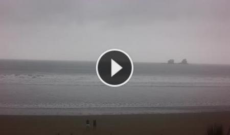
<div style="font-family:Arial,sans-serif; font-size:9px; letter-spacing:1.5px; text-transform:uppercase; font-weight:bold; color:#0a7a5a; margin-bottom:4px;">Ayampe · Cloud Forest Coast</div> | |||
<div style="font-size:1em; font-weight:bold; color:#0a4a3a; margin-bottom:8px;">Playa Ayampe</div> | |||
<html><a href="https://www.skylinewebcams.com/en/webcam/ecuador/manabi/puerto-lopez/playa-ayampe.html" target="_blank"><img src="https://embed.skylinewebcams.com/img/5710.jpg" alt="【LIVE】 Beach of Ayampe | SkylineWebcams" style="width:100%; height:auto; display:block; border-radius:3px;"></a></html> | |||
<div style="font-family:Arial,sans-serif; font-size:0.78em; color:#8a8a8a; margin-top:8px; line-height:1.4;">Where the forest meets the Pacific — surf and wind conditions at the north end of the route. Click image for live feed.</div> | |||
</div> | |||
|} | |||
<!-- Row 3: Las Tunas (centred) --> | |||
{| style="width:100%; border-collapse:separate; border-spacing:10px;" | |||
|- | |||
| style="width:50%; border:1px solid #c8e6dc; border-radius:6px; overflow:hidden; vertical-align:top; padding:0; background:#ffffff;" | | |||
<div style="height:4px; background:#1db894;"></div> | |||
<div style="padding:13px 14px 10px;"> | |||
<div style="font-family:Arial,sans-serif; font-size:9px; letter-spacing:1.5px; text-transform:uppercase; font-weight:bold; color:#1db894; margin-bottom:4px;">Las Tunas · Manabí</div> | |||
<div style="font-size:1em; font-weight:bold; color:#0a4a3a; margin-bottom:8px;">Las Tunas Beach</div> | |||
<html><a href="https://www.skylinewebcams.com/en/webcam/ecuador/manabi/puerto-lopez/las-tunas.html" target="_blank"><img src="https://embed.skylinewebcams.com/img/5850.jpg" alt="【LIVE】 Las Tunas - Manabi | SkylineWebcams" style="width:100%; height:auto; display:block; border-radius:3px;"></a></html> | |||
<div style="font-family:Arial,sans-serif; font-size:0.78em; color:#8a8a8a; margin-top:8px; line-height:1.4;">Northern end of the route — whale watching corridor Jun–Sep. Click image for live feed.</div> | |||
</div> | |||
| style="width:50%; vertical-align:top; padding:0;" | | |||
|} | |||
<div style="font-family:Arial,sans-serif; font-size:0.8em; color:#8a8a8a; font-style:italic; margin-top:6px;">Images refresh every few minutes on the SkylineWebcams servers. Cams run south to north in route order.</div> | |||
Revision as of 20:03, 23 May 2026
|
~200 km
Coastal route
|
12+
Towns & villages
|
E-15
Highway
|
3,500 BC
Spondylus trade begins
|
Jun–Sep
Whale season
|
|
"A road that doesn't just connect places — it connects ways of life. Every few kilometers the coast reinvents itself."
The Ruta del Spondylus takes its name from the thorny oyster shell that was the most sacred trade item of pre-Columbian Ecuador. For millennia, coastal peoples exchanged Spondylus as currency, offering, and symbol of rain and fertility — and the network of communities along this coast were the ones who harvested, traded, and worshipped it. Today the route is the highway E-15, running north from the Santa Elena Peninsula through Santa Elena Province and into Manabí. It passes through a dozen distinct towns, each with its own character: Ayangue is a protected turquoise cove perfect for snorkeling. Manglaralto is quiet and local. Montañita is one of the most internationally known surf destinations in South America. Olón has a vast, peaceful beach and a clifftop church visible for kilometers. Further north, the coast grows wilder — horses on the beach at San José, dramatic cliffs at La Rinconada, yoga retreats and cloud forest at Ayampe. The route is easily traveled by bus from La Libertad's Terminal Terrestre, with frequent departures throughout the day.
Towns of the Route Listed south to north, in travel order from the peninsula.
Live Beach Cams Current conditions along the route — images refresh automatically. Click any image to open the live feed.
Images refresh every few minutes on the SkylineWebcams servers. Cams run south to north in route order.
Starting from the Peninsula
The Ruta del Spondylus begins where the Santa Elena Peninsula ends. Frequent buses run north from La Libertad's Terminal Terrestre throughout the day, stopping at every town along the route. You can travel the full length in a single day, or base yourself in one town and explore on foot.
Geography & Landscape
The Spondylus Shell 3500 BC onwards
The Spondylus princeps — the thorny oyster — is harvested by coastal divers along this stretch of coast. It becomes the single most important trade item in pre-Columbian South America, exchanged from Ecuador to Chile and from the coast to the high Andes.
Ritual significance
Andean cultures — including the Inca — believed Spondylus had the power to bring rain. Its crimson interior color was associated with blood, sacrifice, and the sea goddess. Only nobility and priests could possess it.
The trade network
The coastal communities along this route were the source. Balsa-wood trading vessels — some large enough for 20 people — carried shells north and south. The Spanish conquistadors first encountered these boats off the coast of what is now Santa Elena Province.
Today
The shell gives its name to the modern highway, and local artisans still carve and sell Spondylus jewelry in Montañita and other market towns along the route. The diving tradition that started 5,000 years ago continues in Ayangue and Anconcito.
Nature & Ecology
Outdoor Activities Each activity links to its own page with spots, conditions, access, difficulty, and local operators.
🌊 Water
🏃 Land
🌿 Nature & Other
Getting There & Around
|
|